 Sanmasil
Home › Chungnyeongsan
Chungnyeongsan Hiking Guide 축령산
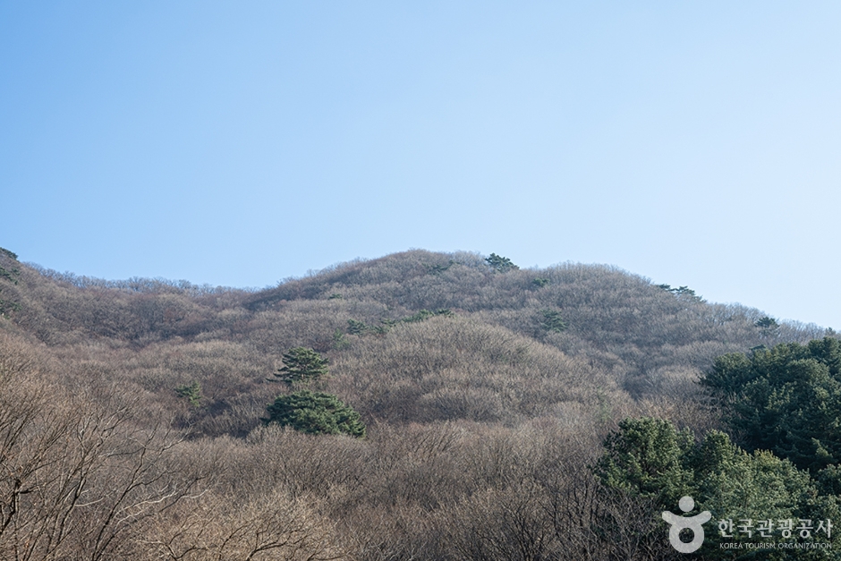
Chungnyeongsan (축령산) is an 887 m mountain in Namyangju-si, Gyeonggi-do, South Korea. It is one of Korea’s 100 Famous Mountains chosen by the Korea Forest Service. Best known for valleys and waterfalls, forest trails, rocky ridges.
🥾 Chungnyeongsan hiking trails
- Sureneomi Pass (수레넘이고개) → Namibawi (남이바위) → Summit → Jeol Pass (절고개) → Seorisan (서리산) → Jilmajae (질마재) → Ticket Office (매표소) 3 h 5 min
- Ticket Office (매표소) → Jilmajae (질마재) → Seorisan (서리산) → Jeol Pass (절고개) → Summit → Dongbungneung (동북릉) → 287bongneung (287봉릉) → Biryeongi (비령이) 3 h 10 min
- Chungnyeongsan Recreation Forest Ticket Office (축령산자연휴양림 매표소) → Seoreung Swimteo (서릉 쉼터) → Suribawi (수리바위) → Namibawi (남이바위) → Summit → Jeol Pass (절고개) → Ticket Office (매표소) 3 h 25 min
- Dangjae Village (당재마을) → Jatchanggo (잣창고) → Summit → Jeol Pass (절고개) → Namibawi (남이바위) → Suribawi (수리바위) → Ticket Office (매표소) 3 h 40 min
Times are from the Korea Forest Service and include short breaks. If you are new to hiking, plan for 1.3–1.5× longer. Korean names are in brackets so you can match them to trail signs.
🪨 Trail surface
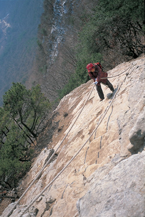
Share of surveyed trail points by surface type. Lots of stairs or rock? Bring hiking poles and gloves.
Surface data: Korea Hiking & Trekking Support Center (data.go.kr)
🌅 Sunrise & sunset by month
| Jan | Feb | Mar | Apr | May | Jun | Jul | Aug | Sep | Oct | Nov | Dec | |
|---|---|---|---|---|---|---|---|---|---|---|---|---|
| Sunrise | 07:45 | 07:22 | 06:44 | 05:57 | 05:21 | 05:08 | 05:20 | 05:46 | 06:11 | 06:38 | 07:10 | 07:39 |
| Sunset | 17:34 | 18:08 | 18:37 | 19:05 | 19:32 | 19:53 | 19:53 | 19:26 | 18:41 | 17:55 | 17:21 | 17:13 |
Around the 15th of each month, Korea Standard Time. Be off the mountain at least an hour before sunset.
🗺️ Maps
Naver Map · KakaoMap · Google Maps
⛰️ Other mountains nearby

🙇 Hiking etiquette in Korea
- Greet other hikers with a short “annyeonghaseyo” — it’s common on the trail.
- Keep to the marked trail; many areas are closed for nature protection (fines apply in national parks).
- Cooking, smoking and drinking are banned in national parks. Take your trash home.
- Read more: Hiking etiquette in Korea
Data: Korea Forest Service (data.go.kr) · 100 Famous Mountains: Korea Forest Service · Locations: © OpenStreetMap contributors