 Sanmasil
Home › Gwanaksan
Gwanaksan Hiking Guide 관악산
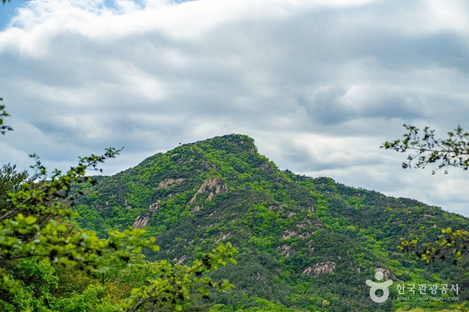
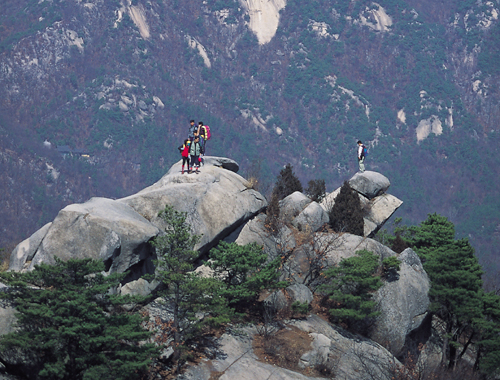
Gwanaksan (관악산) is a 632 m mountain in Gwanak-gu, Seoul, South Korea. It is one of Korea’s 100 Famous Mountains chosen by the Korea Forest Service. Best known for royal azaleas, valleys and waterfalls, sea views, rocky ridges.
🚇 Getting there by subway
- Seoul Nat'l Univ. Station (서울대입구역) — about 4.2 km to the summit (straight line) · mentioned in the official access guide
- Bongcheon Station (봉천역) — about 4.6 km to the summit (straight line) · mentioned in the official access guide
Distances are straight-line from the station to the summit; the walk to the trailhead is longer. Search the station name plus the mountain name in Naver Map or KakaoMap for walking directions — they work much better than Google Maps in Korea.
🥾 Gwanaksan hiking trails
- Seouldae Entrance Bangmyeon Ticket Office (서울대입구 방면 매표소) → Je1gwangjang (제1광장) → Je4yayeongjang (제4야영장) → Kkalttak Pass (깔딱고개) → Summit → Yeonjuam (연주암) → Gwacheonhyanggyo (과천향교) 3 h 30 min
- Sadangdong Daehakchon (사당동 대학촌) → 333bong (333봉) → 414bong (414봉) → 559bong (559봉) → Yeonjuam (연주암) → Summit → Janggunbawi (장군바위) → Janggunbawigol (장군바위골) → Gwacheon Gongeopjinheungcheong (과천 공업진흥청) 3 h 40 min
- Anyangyuwonji (안양유원지) → So Park (소공원) → Bulseongsa (불성사) → Summit → Yeonjuam (연주암) → Je4yayeongjang (제4야영장) → Je1gwangjang (제1광장) → Seouldae Entrance (서울대 입구) 4 h 10 min
- Hoamsa (호암사) → Janggunbong (장군봉) → Samseongsan (삼성산) → Sammaksa (삼막사) → Mangworam (망월암) → So Park (소공원) → Bulseongsa (불성사) → Gwacheon Gongeopjinheungcheong (과천 공업진흥청) 4 h 30 min
Times are from the Korea Forest Service and include short breaks. If you are new to hiking, plan for 1.3–1.5× longer. Korean names are in brackets so you can match them to trail signs.
🗓️ Best time to visit Gwanaksan
| What | Usual peak (estimate) |
|---|---|
| 🌺 Royal azaleas | early–mid May |
Estimated from Korea Meteorological Administration long-term averages, adjusted for the mountain’s latitude and height. Actual dates can shift 1–2 weeks each year.
🌅 Sunrise & sunset by month
| Jan | Feb | Mar | Apr | May | Jun | Jul | Aug | Sep | Oct | Nov | Dec | |
|---|---|---|---|---|---|---|---|---|---|---|---|---|
| Sunrise | 07:45 | 07:23 | 06:45 | 05:59 | 05:24 | 05:10 | 05:22 | 05:48 | 06:13 | 06:39 | 07:11 | 07:39 |
| Sunset | 17:36 | 18:10 | 18:39 | 19:06 | 19:33 | 19:54 | 19:54 | 19:26 | 18:42 | 17:57 | 17:23 | 17:15 |
Around the 15th of each month, Korea Standard Time. Be off the mountain at least an hour before sunset.
🗺️ Maps
Naver Map · KakaoMap · Google Maps
⛰️ Other mountains nearby

🙇 Hiking etiquette in Korea
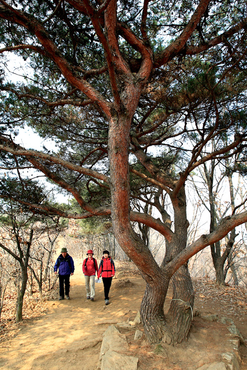
- Greet other hikers with a short “annyeonghaseyo” — it’s common on the trail.
- Keep to the marked trail; many areas are closed for nature protection (fines apply in national parks).
- Cooking, smoking and drinking are banned in national parks. Take your trash home.
- Read more: Hiking etiquette in Korea
Data: Korea Forest Service (data.go.kr) · 100 Famous Mountains: Korea Forest Service · Locations: © OpenStreetMap contributors